
SeaNaviX: A well structured and information rich application which helps to navigatte the sea with ease.
More Information

All boundaries at sea like domestic water, international water and hazardous spots are marked.
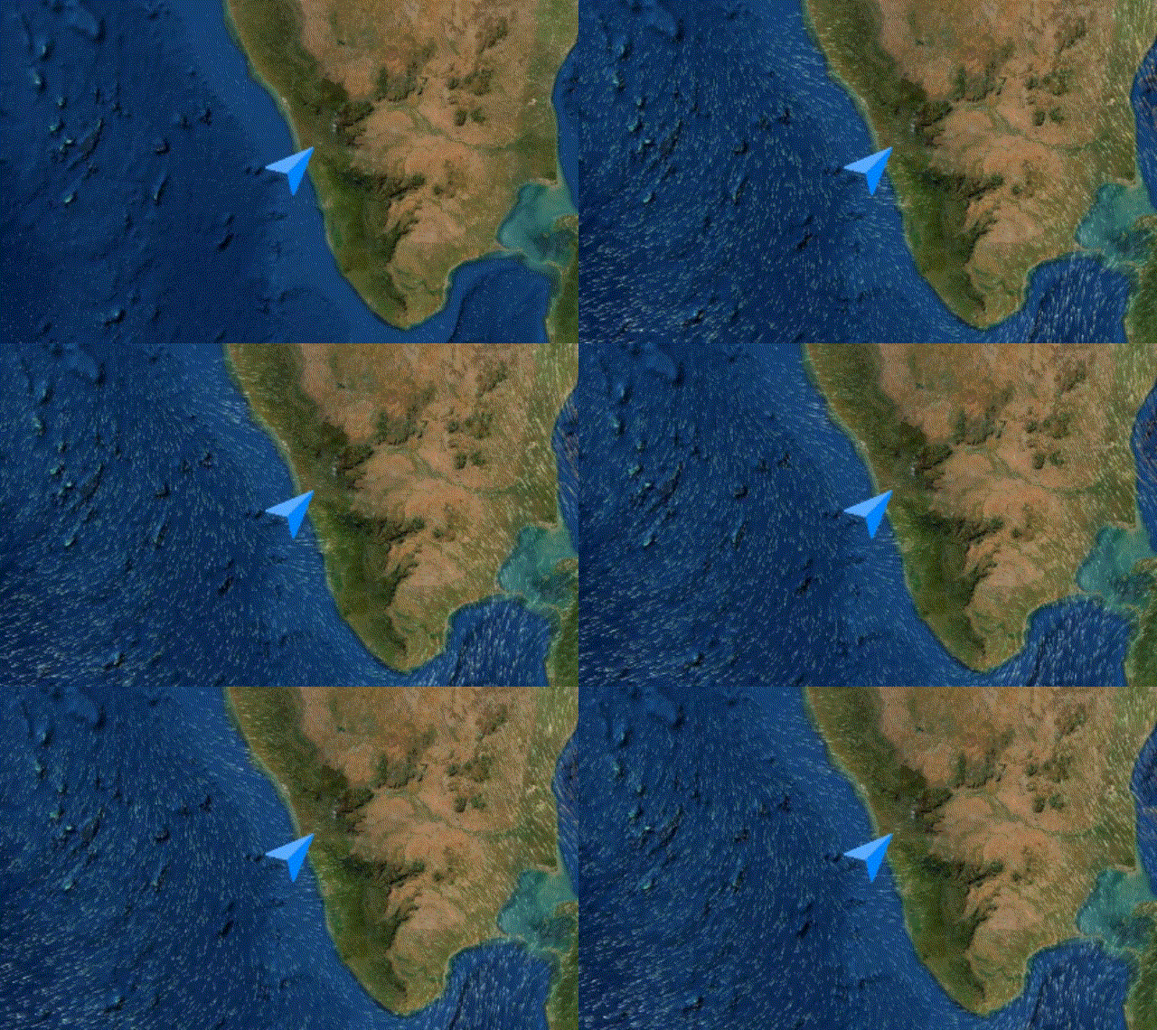
Potential fishing zones and weather data including wind, surface current with directions are viewed as animations.
System tracks your exact position and waypoints, you may navigate back home by just following the GPS route.
Two level safety alarms, with vibration and sound are provided for hazardous spots and boundary crossings.
Our app works offline and data can be viewed while you are at sea.
Our app shows navigation routes marked with boundaries and hazardous spots.
User can mark on the map any dangerous spots or his favourite fishing spots for future reference and can mark his route from home for a safe return.
System can calculate most fuel efficient path based on PFZ and your route/area preference. User can retrieve their route history from the server.
All boundaries at sea like domestic, international water and hazardous spots are clearly marked. Alarms are provided for hazards and boundary crossings.
Through years of experience, we know what to and what not to include in GUI for a smooth user experience.

Based on the data, animations show the flow and power of wind and sea currents.
Content is automatically updated when internet connections are available.
The GUI is structured an layers which can be switched off and on based on user preference
GUI is designed with ease of use in mind, an untrained person can simply access the data.
Sea Map
Map
Charts
Of Data
Marked PFZ and navigational hazards help fisherman to be safe and efficient while performing their job.
Boundary and hazards alerts and PFZ marking can make your fun trip more exciting and safe with our app
© 2024 SeaNaviX. All Rights Reserved